
Sharing Satellite Imagery for International Disaster Response
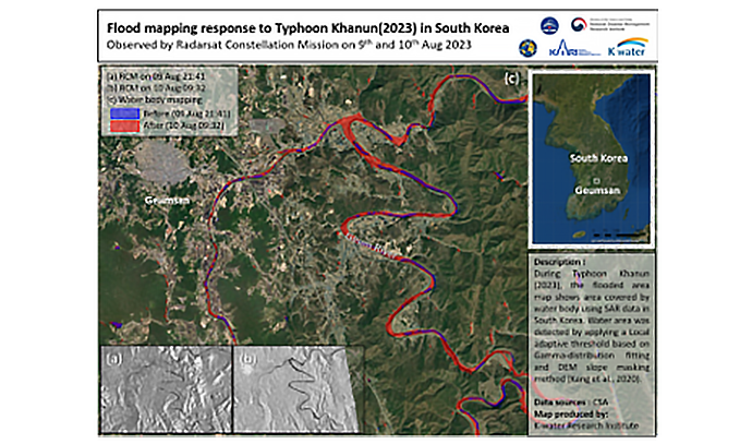
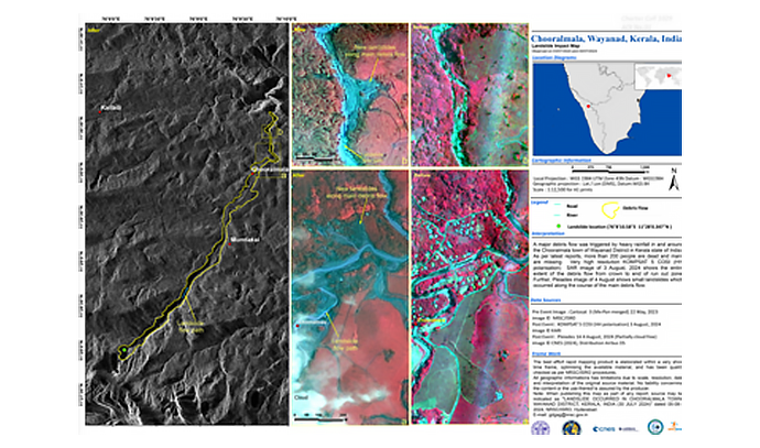
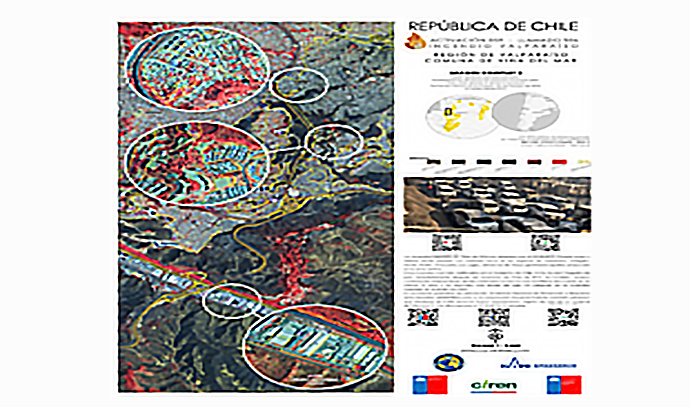
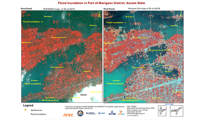
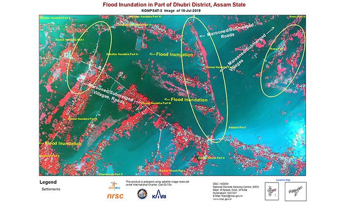
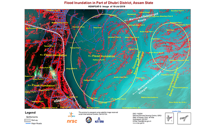
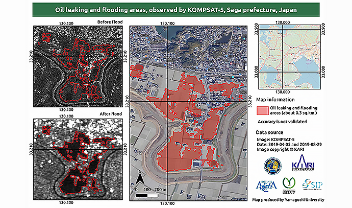
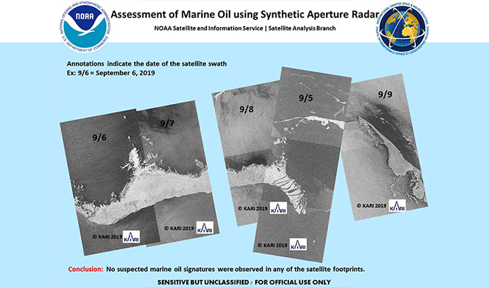
KARI is an official member of the International Charter on Space and Major Disasters and rapidly provides high-resolution imagery from the KOMPSAT series in response to global disasters. This collaborative program, launched in 2000, aims to support disaster assessment and recovery efforts in the event of earthquakes, typhoons, heavy snowfall, wildfires, oil spills, and other large-scale emergencies. Seventeen space agencies currently participate in the Charter. KARI also contributes to emergency response within Korea by obtaining and providing foreign satellite imagery in collaboration with relevant domestic agencies during major domestic disasters.
International Collaboration to Address Climate and Environmental Issues
The Group on Earth Observations (GEO) is a global partnership launched in 2005 to enhance the use of Earth observation and geospatial data in addressing climate and environmental challenges. Over 110 countries and 130 international organizations participate in the initiative.
Korea, a founding member of GEO, has continued to serve on the Executive Committee. The Korea Aerospace Administration (KASA) oversees Korea’s participation in GEO initiatives through the Korean Group on Earth Observations (K-GEO), which KARI supports through research and international collaboration focused on the utilization of Earth observation satellites.
Domestic Cooperation Using Satellite Imagery
KARI systematically produces and distributes standard and value-added imagery from the KOMPSAT series and other national satellites in response to the needs of the Government Satellite Information Utilization Council. Additionally, satellite imagery of the Korean Peninsula acquired through international partnerships is provided to domestic institutions.
To facilitate the smooth use of council member agencies' satellite information, KARI has developed and operates a dedicated satellite information support platform and satellite imagery order management system. A value-added processing system and a large-scale satellite data management infrastructure have also been established to ensure the stable handling of processed imagery products, such as mosaic imagery of the Korean Peninsula.
To support the practical application of satellite data by operational agencies, KARI is actively developing new technologies and regularly hosts seminars, technical training programs, satellite utilization conferences, and annual council meetings to share expertise and the best practices in satellite data usage.
