
Application
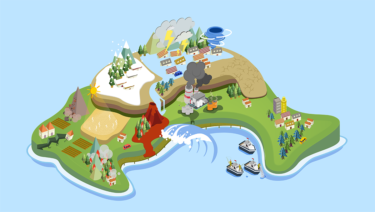
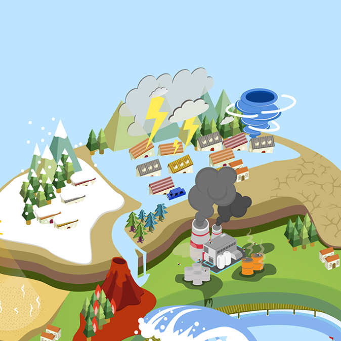
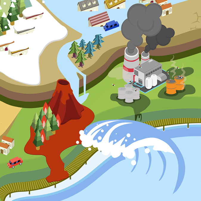
Climate / Environment
- Cloud Area Detection Device and Method
- Atmospheric Information Measuring Apparatus for Multi-copter using Inertial Sensor
- Method and System for Recognizing Images Based on Machine Learning
- Satellite Image Geometry Correction System
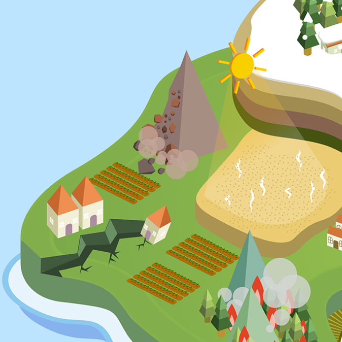
Land Use / Geographical Datat
- Constructing 3D GIS Data
- Constructing 3D GIS Data using Reference Layer
- Image Geometric Correction Methods
- Constructing High Precision 3D GIS Data using Lattice Type GCPS
Emergency Response
- Damage Detection System and Method
- Vibration Damping Device for Building
- UAV for Marine Rescue
- Non-motorized Type Flying Unit for Observation
Surveillance
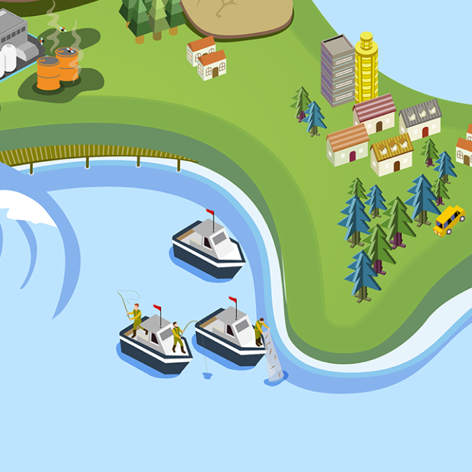
- Maritime Surveillance System
- SAR Antenna Pattern Compensation Method
- Processing SAR Raw Data
- Remote Sensing using Drone
- Method of Correcting Image Sensor Misalignment using Ship Identification Information
- Real-time Observation and Object Detection
- Group Drone based Broadband Reconnaissance and Surveillance
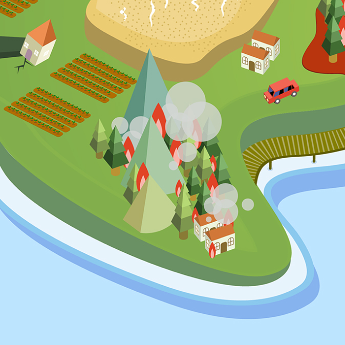
Forestry / Wildfire
- Method for Automatically Generating Satellite Image Map
- Spraying System using Fixed Wing Aircraft and its Control
- Localization of Quad-rotor
- Accuracy Position Determination on Woodland