
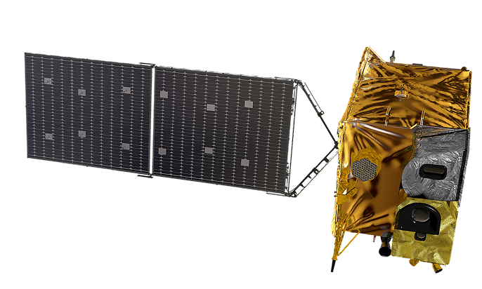
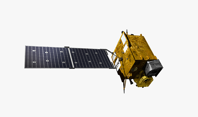
Geostationary Satellite (Cheollian 2B)
- Specification : Mass 3,379 kg
- Orbit : Geostationary (36,000 km)
- Mission : Marine/Environmental observation
- Resolution: Marine 250 m, Environmental 7 km
- Launch date: February 19, 2020


Cheollian 2B is a geostationary satellite for observing oceanic and global atmospheric environments around the Korean Peninsula. In particular, Cheollian 2B is the world’s first satellite equipped with an environmental payload. It observes the migration path of air pollutants around the Korean Peninsula.
It is equipped with a laser reflector for research in preparation for the need to improve orbital precision in future navigation satellites. It succeeded in obtaining orbital location information using the satellite laser tracking system on the ground, and it plans to acquire data to perform orbit determination analysis such as estimating the existing prediction information bias.
Cheollian 2A and Cheollian 2B laid a foothold for domestic geostationary satellite development technology to reduce satellite development costs and improve proven technologies' reliability. The know-how acquired through the development of Cheollian 1 helped localize core hardware parts such as satellite structure, heat control parts (heat pipes, etc.), satellite-mounted computer and power distribution devices, and heater pyro pulse units. Such geostationary satellite localization platform can be used as a basic platform for domestic geostationary satellite missions such as early warning, navigation, data relay, and communication broadcasting in the future.

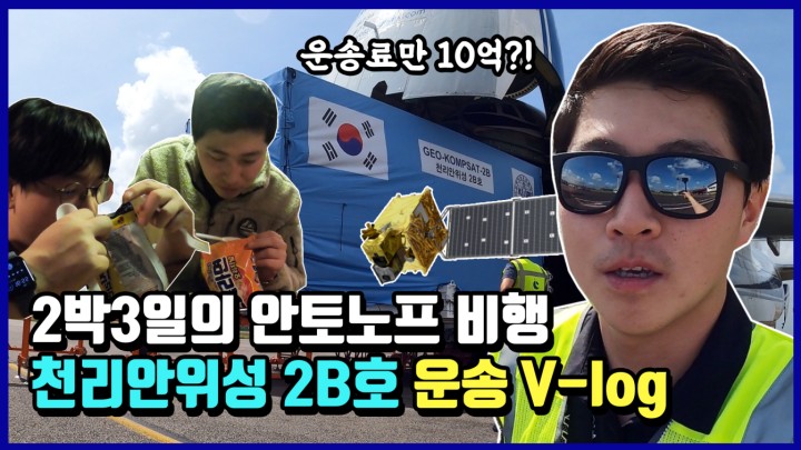

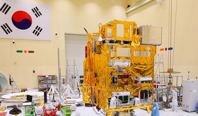
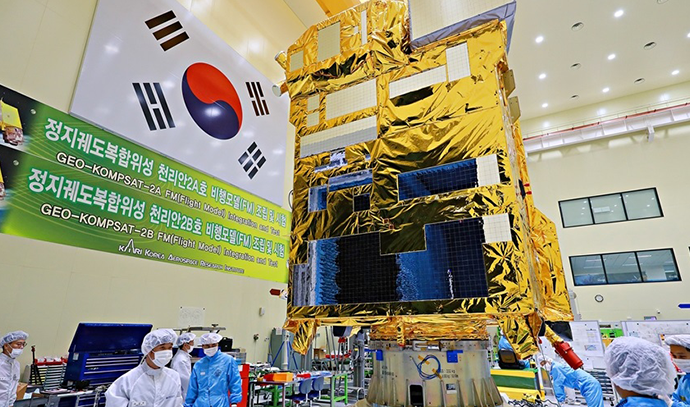
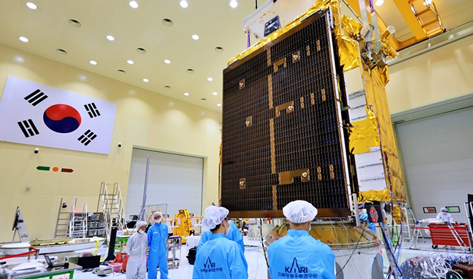
Launched on February 19, 2020, Cheollian 2B is equipped with environmental and marine payloads. It is expected to stay in the geostationary orbit for about ten years to monitor and measure the atmosphere and oceans over the Korean Peninsula and East Asia.
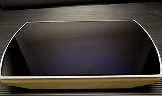
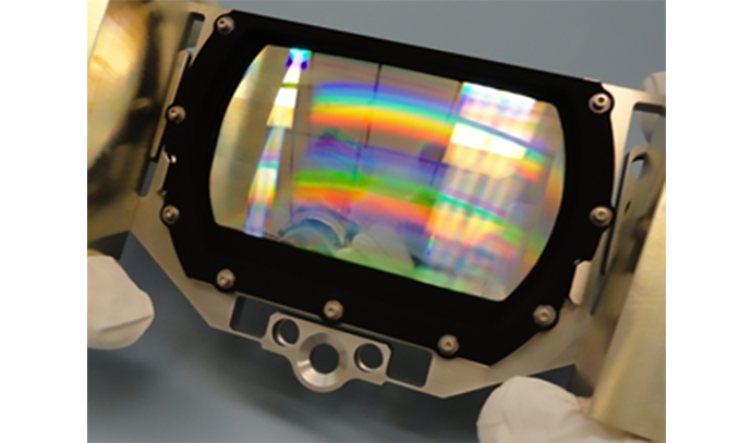
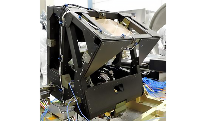
KARI developed a geostationary environment monitoring spectrometer (GEMS) and mounted it on Cheollian 2B, the world’s first geostationary satellite to be equipped with GEMS. The environmental payload is a hyperspectroscope that can measure trace gases in the atmosphere. It uses hyperspectral imaging technology to detect an object and analyze its components by subdividing the wavelength data released by the object in response to light. The environmental payload can precisely measure 20 atmospheric environmental items, such as aerosol, nitrogen dioxide, sulfur dioxide, and ozone, with a 8㎞(horizontal) and 7km(vertical) resolution. It can observe the region that spans from the east of Japan to the Indochinese Peninsula in the east-west direction and from Northern Indonesia to Southern Mongolia in the north-south direction to track the generation location, amount, and migration path of air pollutants around the Korean Peninsula.
Cheollian 2B is the world’s first satellite to mount an environmental payload for observing the earth's atmosphere from a geostationary orbit at an altitude of 36,000 km, not a low Earth orbit around 1,000 km. There is a limit to observing the atmospheric environment from the low Earth orbit since the satellite moves faster than the Earth's rotation. In contrast, Cheollian 2B in the geostationary orbit can continuously stay above the Korean Peninsula and monitor air pollution at all times during daytime.
Moreover, Cheollian 2B is equipped with a marine payload (GOCI-II, Geostationary Ocean Color Imager 2) whose performance is superior to Cheollian 1. Compared to Cheollian 1, Cheollian 2's marine payload acquires high precise marine observation data with a 4 times better resolution, 1.6 times increased number of observation bands, 10 times a day(or 1.3 times of Cheollian 1). The marine payload can distinguish between two objects placed 250m apart on the ground surface. It can precisely monitor marine disasters such as red tide, green algae, ocean current, sea fog, and marine environments such as migration and spread of contaminated seawater near the shore and ecology of marine waste dumping areas. As a result, it can provide a wide range of marine information closely related to people’s lives.
| Subject | Cheollian 1 | Cheollian 2A | Cheollian 2B | |
|---|---|---|---|---|
| General | Mission lifetime | 7 years | 10 years | |
| Mission | Satellite communication, meteorological, and marine observation | Meteorological and space meteorological observation | Marine and environmental observation | |
| Orbit | Geostationary orbit (satellite operating longitude 128.2° E) | Geostationary orbit (satellite operating longitude 128.2° east longitude) | Geostationary orbit (satellite operating longitude 128.2° east longitude) | |
| Mass | 2.5 tons | 3.5 tons | 3.4 tons | |
| Development Plan | Joint international development | Domestic development (system, main body, and earth station) | Domestic development (system, main unit, and earth station) | |
| Budget | KRW 354.9 billion (one satellite) | KRW 704.9 billion (two satellites - Cheollian 2A and 2B) | ||
| Payload | Configuration | Meteorological payload, marine payload, and Ka-band communication payload | Meteorological payload (AMI) and space weather payload (KSEM) | Marine payload (GOCI-2) and environmental payload (GEMS) |
| Resolution | Meteorological payload: 1km (VIS) 4km (IR) (Regional and global observations) Marine payload: 500m (Regional observation) | Meteorological payload: 500 M (0.6 μm), 1 km (VIS) and 2 km (IR) (Regional and global observations) | Marine payload: 250 m (Regional observation, nadir) Environmental payload: 7×8㎢ (Seoul basis) | |
| Channels | Meteorological payload: 5 channels (1 visual and 4 IR)Marine payload: 8 channels (8 visual) | Meteorological payload: 16 channels (4 visual and 12 IR/near IR) | Marine payload: 13 channels (Including the star image recording band)Environmental payload: 1000 channels (UV-visible light domain, 0.6 ㎚ intervals) | |
| System/ Main body |
Observed image position correction | Meteorological payload: < 56 uradMarine payload: < 28 urad | Meteorological payload: < 21 urad | Marine payload: < 14 urad Environmental payload: < 1 pixel |
| Size | (At launch) 2.9 × 2.2 × 3.3 m (On orbit) 5.3 × 8.7 × 3.3 m | (At launch) 2.9 × 2.4 × 4.6 m (On orbit) 3.8 × 8.9 × 4.6 m | (At launch) 2.9 × 2.4 × 3.8 m (On orbit) 2.9 × 8.8 × 3.8 m | |
| Power | 2,435 W @ at the end of the mission | 2,550 W @ at the end of the mission | 2,550 W @ at the end of the mission | |
| Orbit determination precision | 18km | 2km | 2km | |
| Orientation precision | Roll: 0.352°, Pitch: 0.352°, Yaw: 0.657° | Roll: 0.075°, Pitch: 0.075°, Yaw: 0.108° | Roll: 0.075°, Pitch: 0.075°, Yaw: 0.108° | |
| Data transmission rate | < 6.2 Mbps | < 115Mbps | < 115Mbps | |