한국항공우주연구원
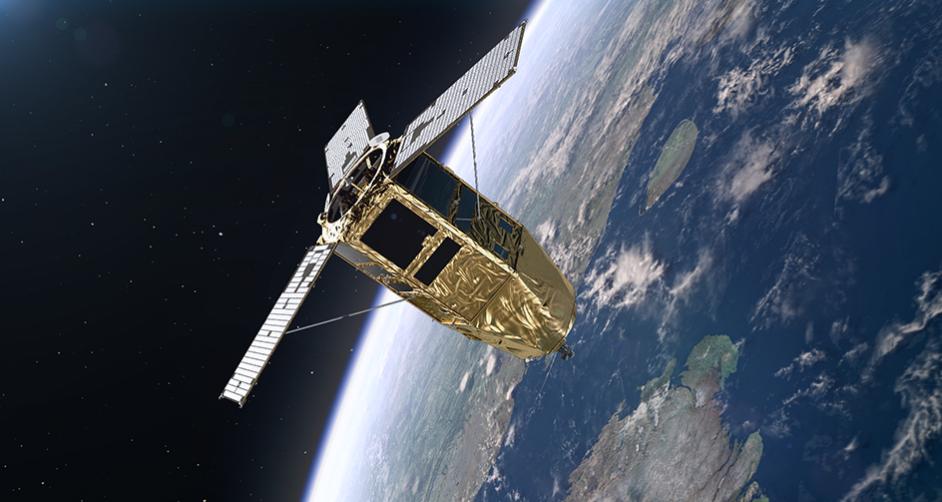
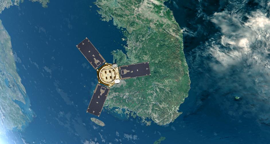
Mobile GnbMultipurpose Satellites(Arirang)
Korea’s Cutting-Edge Satellites for Observing the Earth
Satellite
More countries are developing satellites, with more than 150 satellites launched each year worldwide. Earth observation satellites, meteorological/marine/environmental observation satellites, broadcasting/telecommunication satellites, and navigation satellites have an important role in national security and various fields such as economy, industry, and culture. The value of data observed from satellites is increasing as important big data in the 4th Industrial Revolution era.Securing satellite development technology to meet national public demand
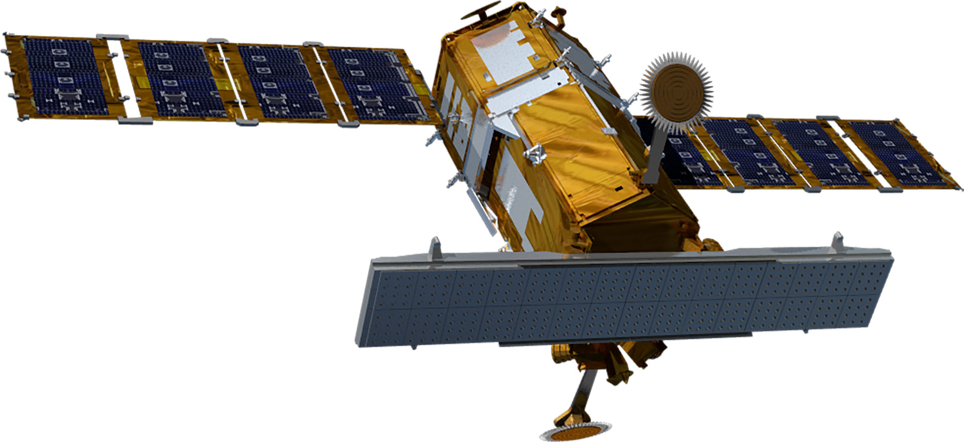
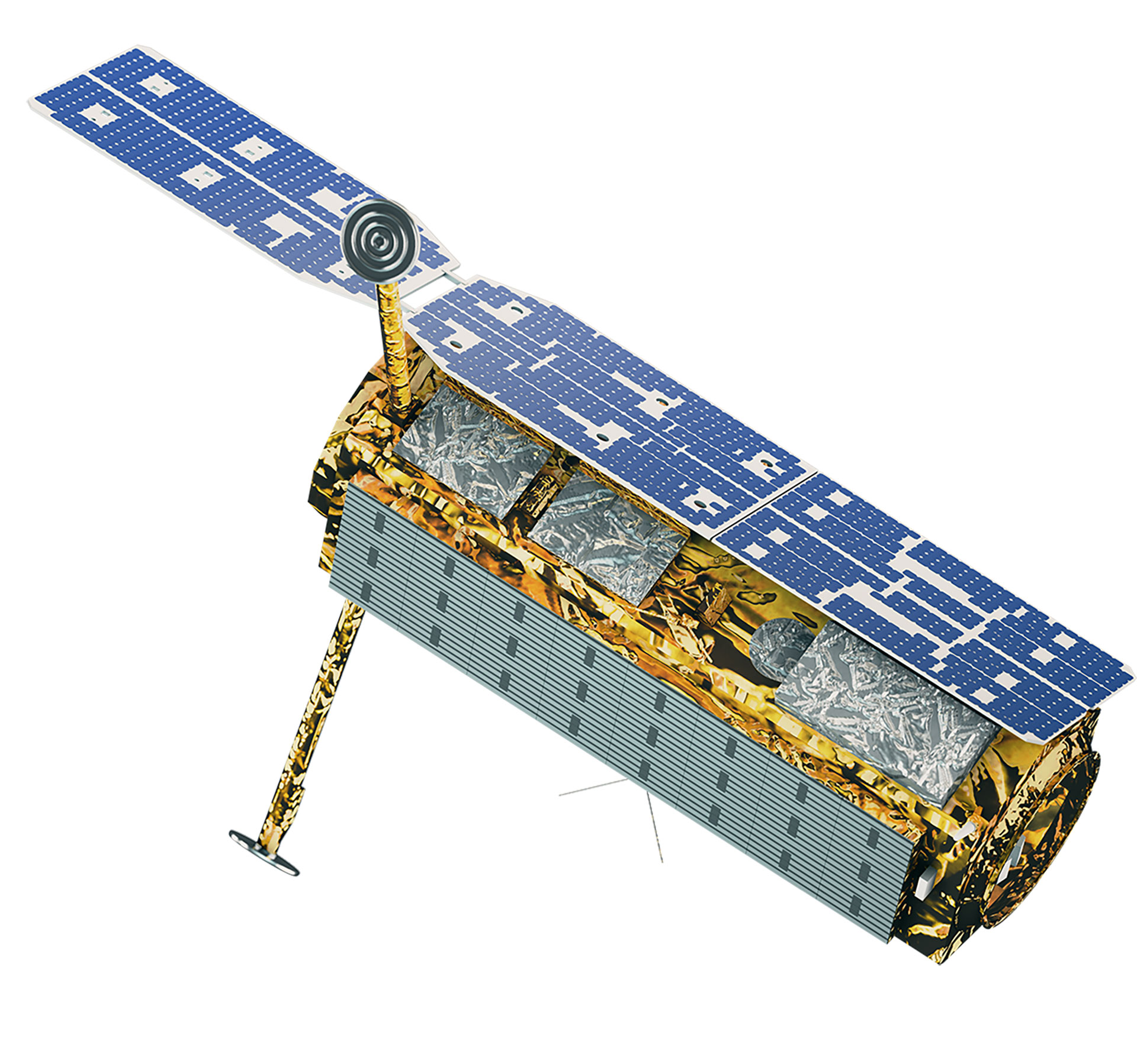
The research and development of satellites in Korea began in 1994 when the General Science and Technology Council approved a multipurpose satellite (Arirang) development project. The multipurpose Arirang 1 was developed in 1999 to meet public demand for satellite images, with Arirang 2 developed under the initiative in Korea in 2006. Later, Arirang 3, Arirang 5, and Arirang 3A were developed in 2012, 2013, and 2015, respectively. Currently, KARI is developing Arirang 6, a high-precision radar satellite, and Arirang 7 and Arirang 7A as cutting-edge precision earth observation optical satellites. Moreover, it developed Cheollian 1, Korea’s first geostationary orbit satellite capable of independent meteorological and ocean observation services. It also developed—and is currently operating—Cheollian 2A, which is capable of more precise meteorological observation than Cheollian 1, and Cheollian 2B, which is capable of marine observation as well as the world’s first atmospheric environmental observation from the geostationary orbit. In particular, Cheollian 2B is expected to help resolve conflicts between countries and social problems due to fine dust by identifying the migration path of air pollutants, such as fine dust, around the Korean Peninsula. KARI has also developed small and scientific experimental satellites, such as Science and Technology 1 in 2003 and Naro Science and Science and Technology 3 in 2013. KARI has secured its independent satellite development technology by developing multipurpose satellites and geostationary orbit satellites. 500kg next-generation mid-size satellites 1 was launched in 2021 to transfer satellite technology to private industry with the aim of industrialising domestic satellites.| Subject | Arirang (Multipurpose Satellite) | Next-Generation Mid-Size Satellite | ||||||||
|---|---|---|---|---|---|---|---|---|---|---|
| 1 | 2 | 3 | 3A | 5 | 6 | 7 | 7A | 1 | 2 | |
| Purpose | Earth observation (Optical) | Precise earth observation (Optical) | Precise earth observation (Optical) | Precise earth observation (Optical + IR) | All-weather earth observation (Image radar) | All-weather earth observation (Image radar) | Precise earth observation (Optical + IR) | Precise earth observation (Optical + IR) | Earth observation (EOS) | Earth observation (EOS) |
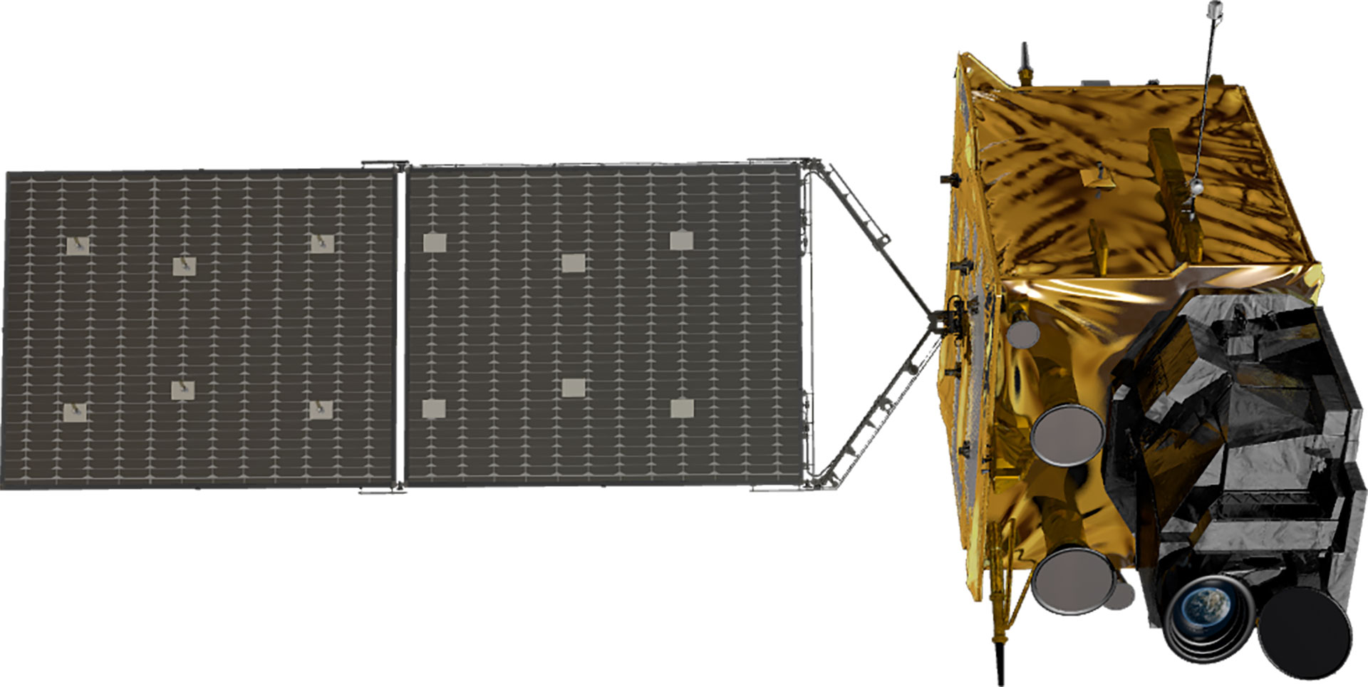
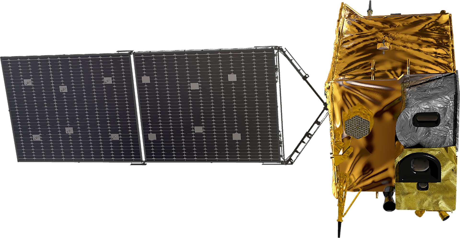
| Satellite Shape | 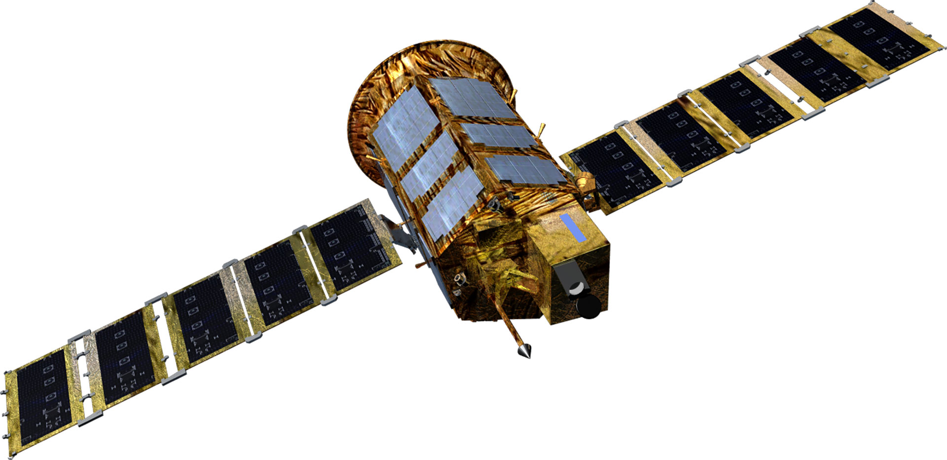 |
 |
 |
 |
 |
 |
 |
 |
 |
 |
| Project Period | 1994.11- 2000.1 | 1999.12 - 2006.11 | 2004.8 - 2012.8 | 2006.12 - 2015.12 | 2005.6 - 2015.6 | 2012 - 2014 | 2016 - 2023 | 2016 - 2023 | 2015 - 2019 | 2018 - 2020 |
| Weight(kg) | 470 kg | 800 kg | 980 kg | Around 1,100 kg | Around 1,400 kg | 1,750 kg | 2000 kg | 2000 kg | 500 kg class | 500 kg class |
| Mission Life | 3 years | 3 years | 4 years | 4 years | 5 years | 5 years | 5 years | 5 years | 4 years | 4 years |
| Performance (resolution) |
B&W 6.6m | B&W 1m Color 4m |
B/W 0.7m Color 2.8m |
B&W 0.55m Color 2.2m |
Radar image 1m/3m/20m | Radar image 0.5m/3m/20m | B&W 0.3m Color 1.12m |
B&W 0.3, color < 1.12m | B&W 0.5m Color 2m |
B&W 0.5m Color 2m |
| Launch Vehicle | Taurus (US) | Rockot (Russia) | H2-A (Japan) | Dnepr (Russia) | Dnepr (Russia) | Vega-C (France) | Vega-C (France) | Falcon9(US) | Soyuz-2 (Russia) | - |
| Launch Site | Vandenberg (US) | Plesetsk (Russia) | Tanegashima (Japan) | Yasny (Russia) | Yasny (Russia) | Guyana (France) | Guyana (France) | Cape Canaveral(US) | Baikonur (Kazakhstan) | - |
| Launch Date | '1999.12.21 | '2006.7.28 | '2012.5.18 | '2015.3.26 | '2013.8.22 | To Be Determined | To Be Determined | To Be Determind | '2021.3.22 | To Be Determined |
| Operation Status | Mission completed (2007.12) | Mission completed (2015.10) | In operation | In operation | In operation | Under development | Under development | Under development | In operation | Under development |
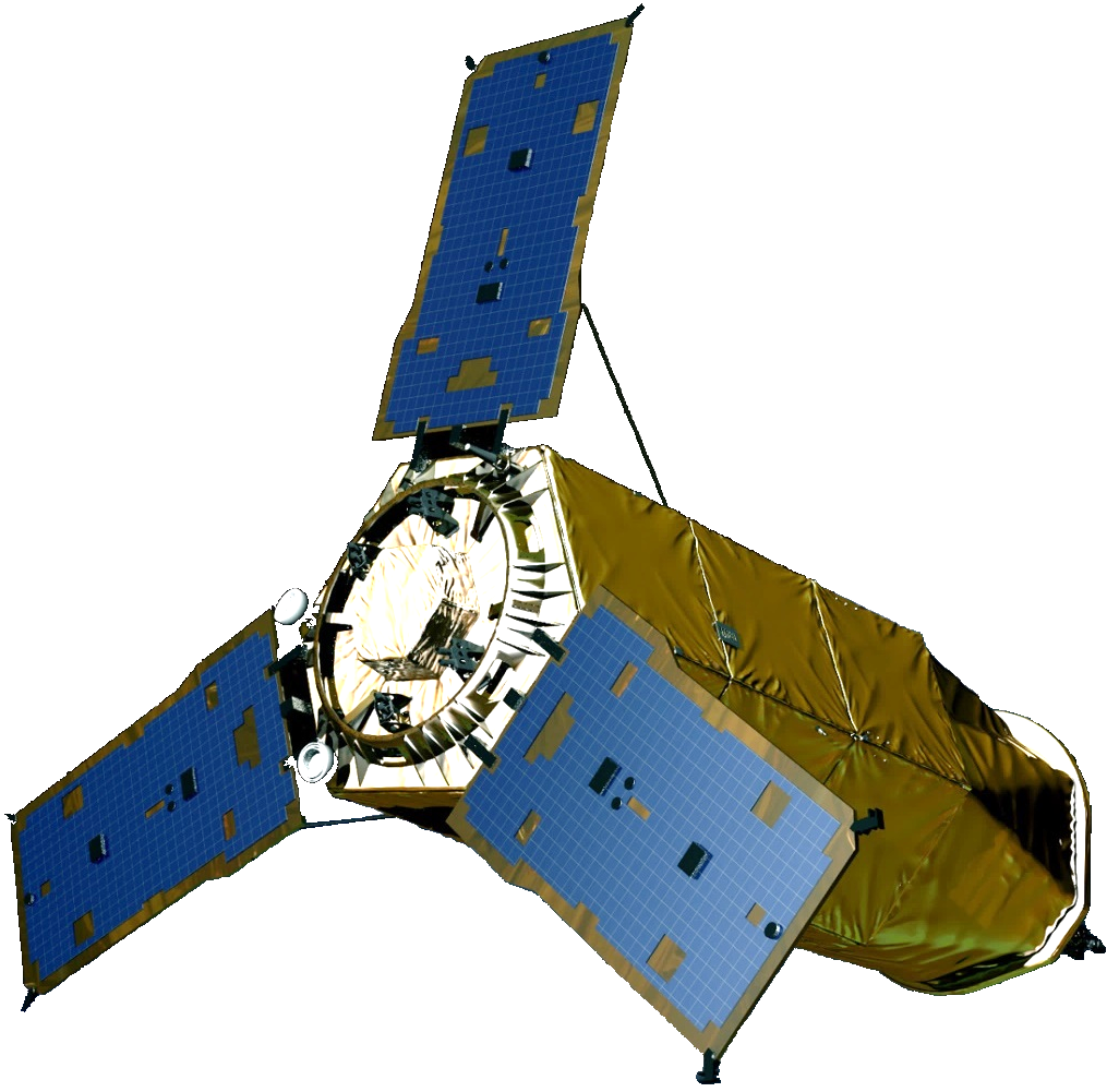
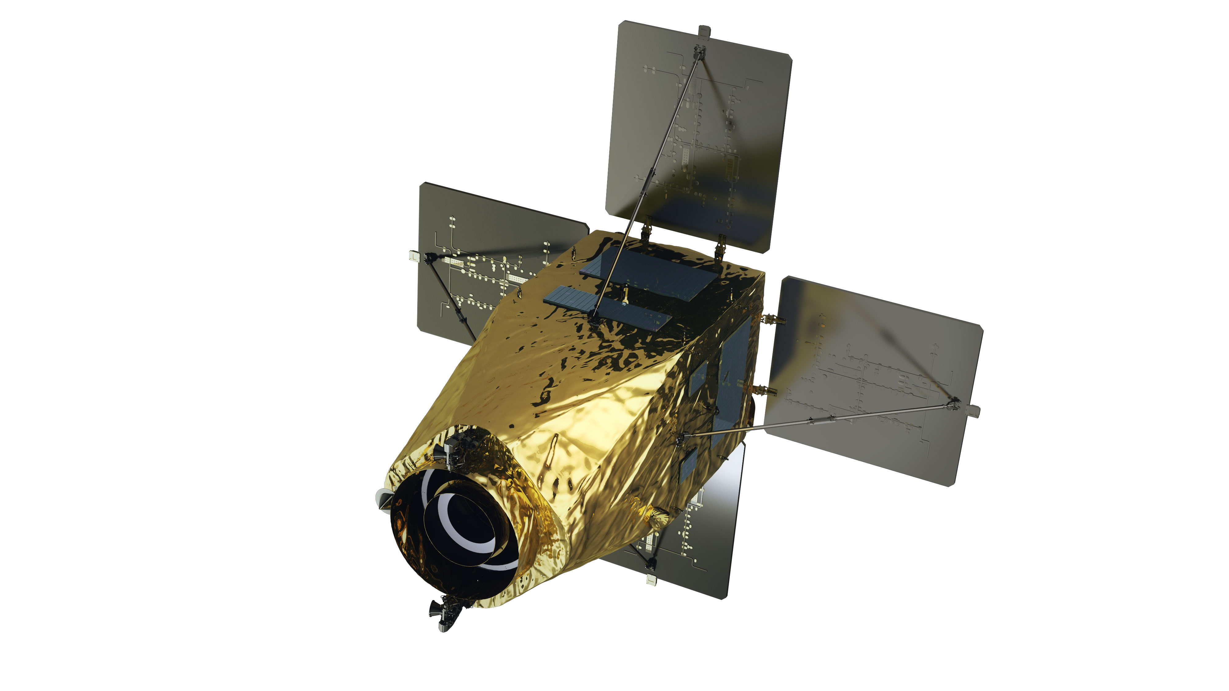
| Type | Public geostationary orbital satellite | |||
|---|---|---|---|---|
| Cheollian 1 | Cheollian 2A | Cheollian 2B | Cheollian 3 | |
| Purpose | Public communication/Marine/Weather observation | Weather/Spaceobservation | Marine/Environmentalobservation | Offering public satellite communication service |
| Shape | 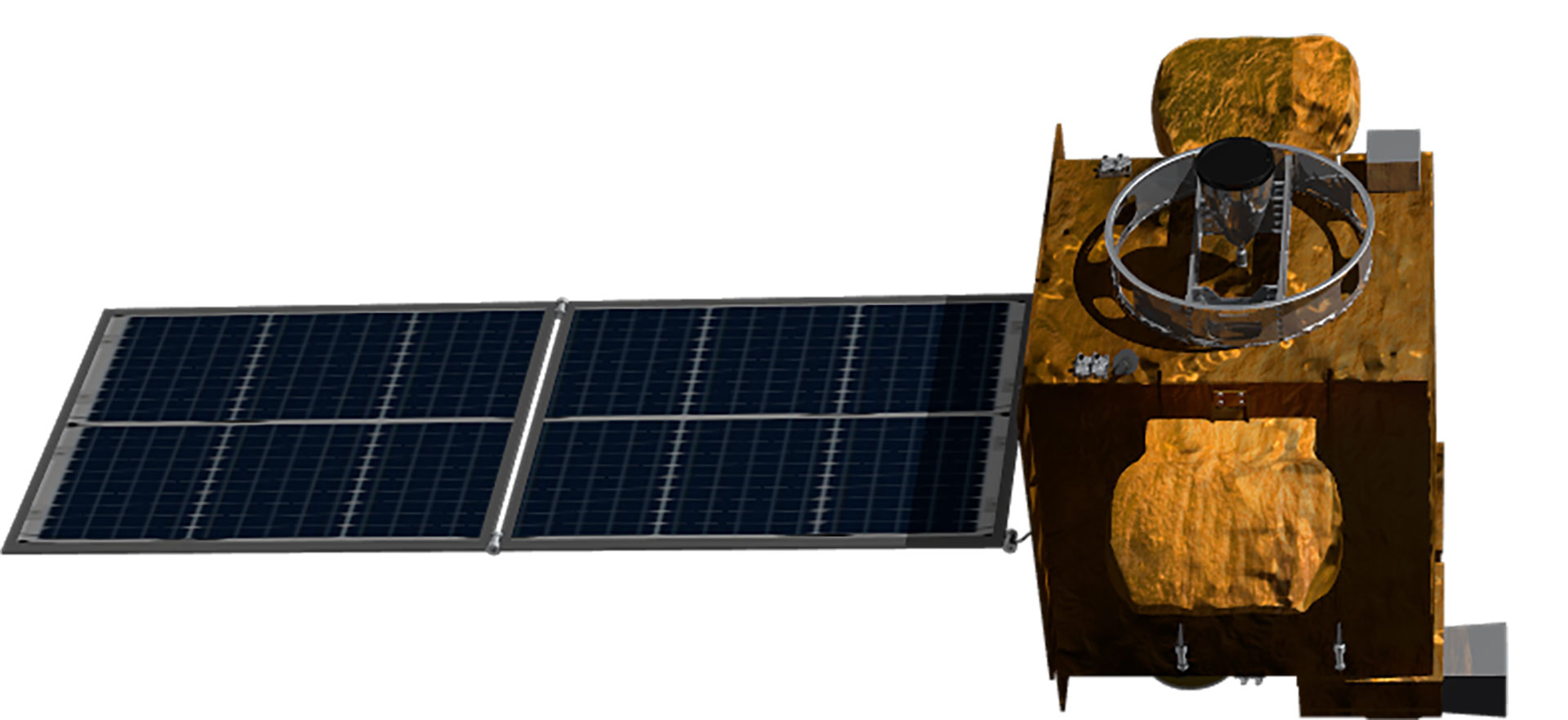 |
 |
 |
 |
| Development Period | 2003.9 - 2010.12 | 2011.7 - 2020.10 | 2021.4 - 2027.12 | |
| Launch Date | 2010.6.27 | 2018.12.5 | 2020.2.19 | To be Determined |
| Weight | 2,460 kg | 3,507 kg | 3,386 kg | 3,500 kg |
| Life | 7 years | 10 years | 10 years | 15 years |
| Satellite body development | Astrium(France)/KARIjoint development | KARI | KARI | KARI |
| Launch vehicle | Ariane5 (France) | Ariane5 (France) | Ariane5 (France) | - |
| Launch site | Guyana (France) | Guyana (France) | Guyana (France) | - |
| Remarks | Korea’s first geostationary orbital satellite | Geostationary orbital satellites independently developed in KOREA | ||
| Operation Status | Weather observation Mission completed (‘20.4.1) | In operation | In operation | Under development |
World-class satellite development technology
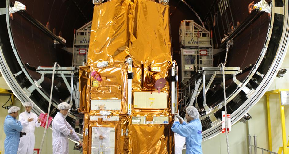
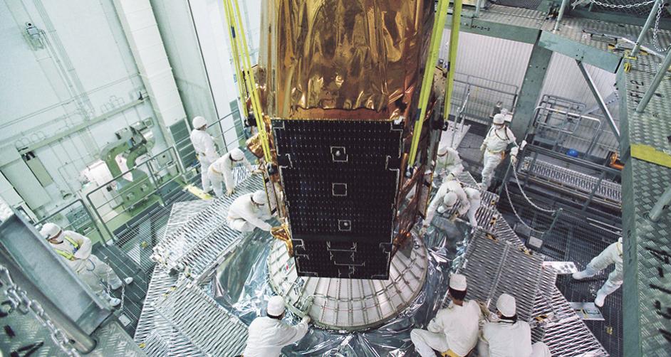
Although Korea was a latecomer, having begun developing satellites in the 1990s, it has come a long way thanks to continuous investment and R&D, and it is considered to be among the world's top six or seven in terms of satellite development capability. It has secured the world's most advanced satellite design, analysis, assembly, and test technologies to meet various domestic satellite demands. Having constructed a cutting-edge satellite testing facility, it owns satellite operation infrastructure and technology and satellite information utilization technology essential for satellite development. KARI has accumulated technologies for developing low-orbit earth observation satellites and geostationary satellites applying advanced technologies through world-class satellite research and development. It transfers its satellite development technologies to private industries.Multipurpose Satellites(Arirang)
Independent satellite development know-how
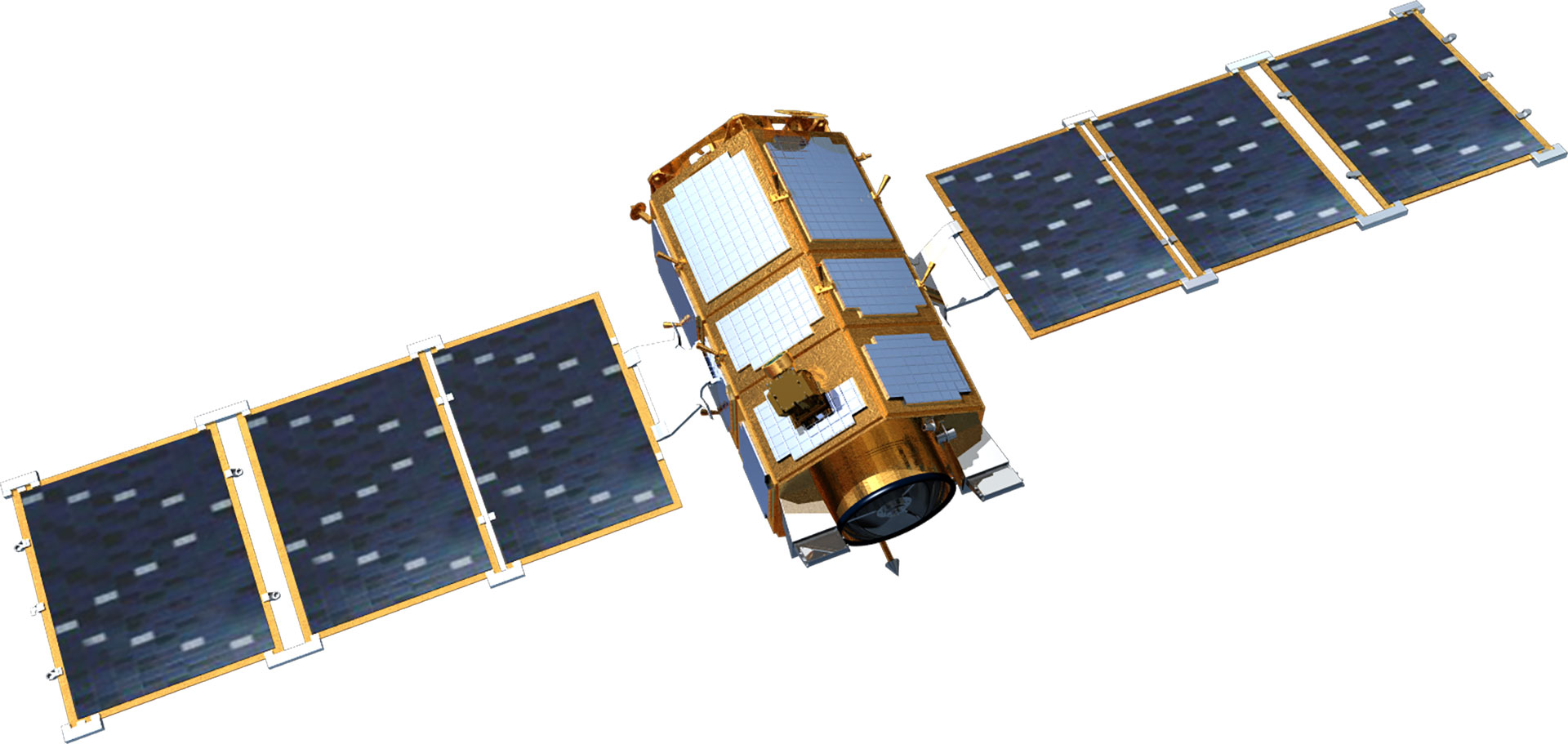
The development of the multipurpose utility satellite Arirang enabled securing independent satellite development know-how and meeting public demand for satellite images. Arirang is a low-orbit earth observation satellite that secures various satellite data with payloads such as electro-optical cameras, image radar, and infrared cameras. It is used for land/marine monitoring, weather/geology/agriculture/water resources monitoring, and disaster response. KARI developed Arirang 1, the first multipurpose satellite in Korea, in 1999. This was followed by Arirang 2, the world’s seventh satellite capable of generating 1-meter resolution images, based on KARI's experience in developing Arirang 1.World's 5th largest satellite development technology
KARI developed Arirang 3 with optical observation capability of 70cm resolution, Arirang 5 with imaging radar for earth observation regardless of weather conditions and be it day or night, and Arirang 3A with 55cm optical IR. It is currently developing Arirang 6, the successor to Arirang 5, with improved imaging radar performance, and Arirang 7 and Arirang 7A equipped with ultra-precise optical and infrared sensors.Korea’s first submeter-class satellite
As the first submeter-class, high-resolution earth observation satellite in Korea, Arirang 3 was developed to meet public demand and enter the overseas satellite image service market. As part of Arirang 3's development, KARI developed satellite development processes including satellite system, payload, main body, system assembly, and test using independent domestic technology. It also developed a submeter-class optical payload (AEISS, Advanced Earth Imaging Sensor System) with resolution of 70 cm for the first time in Korea.Securing high-resolution satellite camera technology
Demand for submeter-class high-resolution satellites increased with the commercial US IKONOS 2 (resolution 82 cm) launched in 1999 and Quickbird 2 (62 cm resolution) unveiled in 2001. In particular, IKONOS 2 was the first satellite to open the commercial application of high-resolution earth observation satellites.
At the time of development of Arirang 3, the US had the most advanced satellite image technology as France, India, Japan, Israel, China, Russia, and Germany had not yet developed submeter satellites. KARI has secured submeter-class high-resolution satellite camera technology through cooperation with European countries.
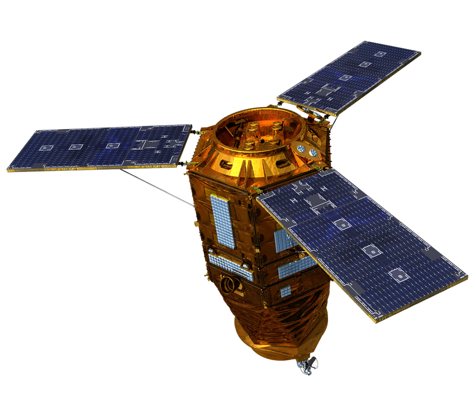
Arirang 3 has been orbiting Earth about 15 times a day at an altitude of 685 km and collecting high-resolution imaging data for public safety, land and resource management, and disaster monitoring through earth observation. It collects the images and provides commercialization service for satellite images. Having extended its mission life by two years twice after the initial four years of mission life, Arirang 3 will carry out precision earth observation until 2022.
- SpecificationDiameter 2.0 m, height 3.0 m, and weight 980 kg
- Operating orbitLow orbit
- MissionEarth observation
- PayloadElectro-optical camera (70 cm resolution)
- Launch dateMay 18, 2012
Korea’s first satellite to load imaging radar (SAR)
Arirang 5 is Korea's first earth observation satellite equipped with a Synthetic Aperture Radar (SAR) for all-weather ground and ocean observations above the Korean Peninsula. The SAR mounted in Arirang 5 emits a microwave to an object on the ground and synthesizes the reflected signal to produce the image. It enables ground observation even during nighttime and poor weather. As part of Arirang 5's development, KARI developed a significant portion of its technology, excluding its main core technology, with domestic technology. The imaging radar payload’s core technology was developed through technical cooperation with overseas partners since it was not available in Korea. Through the development of Arirang 5, KARI was able to secure the technology related to imaging radar and imaging radar correction and processing technology. Arirang 5 added four operational modes—improved high-resolution mode with resolution of 1m (observation width of 3 ㎞×3 ㎞), ultra-high-resolution mode of 0.85 m (2.7㎞×2.7㎞), enhanced standard-resolution mode of 2.5m (30 ㎞), and enhanced wide-area observation mode of 20 m (100 km)—through post-launch performance improvement to provide improved high-resolution, high-quality images.| Subject | Imaging Radar Payload | Remarks |
|---|---|---|
| Mass | 520kg | Excluding the mass of the payload module structure |
| Maximum power consumption | 1700W | - |
| Incident angle | 20 - 55˚ | - |
| Standard-resolution mode | 3 m (resolution) / 30 km (observation width) | Based on incident angle of 45˚ |
| High-resolution mode | 1 m (resolution) / 5 km (observation width) | Based on incident angle of 45˚ |
| Wide-area observation mode | 20 m (resolution) / 100 km (observation width) | Based on incident angle of 45˚ |
| Polarized observation | Selected observation among HH, HV, VH, and VV | - |
| Image acquisition time | Average of two minutes per orbit | Time for longitudinal observation of the Korean Peninsula |
| Image storage capacity | 256Gbit | - |
| Image transmission capacity | 310Mbps | Real-time transmission of observed images of the Korean Peninsula |
Imaging Radar (SAR) Satellites Worldwide
| Country | Satellite | Resolution | Altitude | Weight | Year Launched |
|---|---|---|---|---|---|
| Germany | TerraSAR-X | 1m, 3m, 16m | 514km | 1,230kg | 2007 |
| TanDEM-X | 1m∼16m | 514km | 1,330kg | 2010 | |
| Italy | Cosmo-SkyMed-3 | ≤1m, 3m∼100m | 619km | 1,700kg | 2008 |
| Cosmo-SkyMed-4 | ≤1m, 3m∼100m | 619km | 1,700kg | 2010 | |
| Israel | TecSAR-1 | ≤1m, 3m, 8m | 550km | 300kg | 2008 |
| Russia | Kondor-E1 | 1m ~ 3m | 550km | 800kg | 2010 |
Securing radar images in any weather, be it day/night
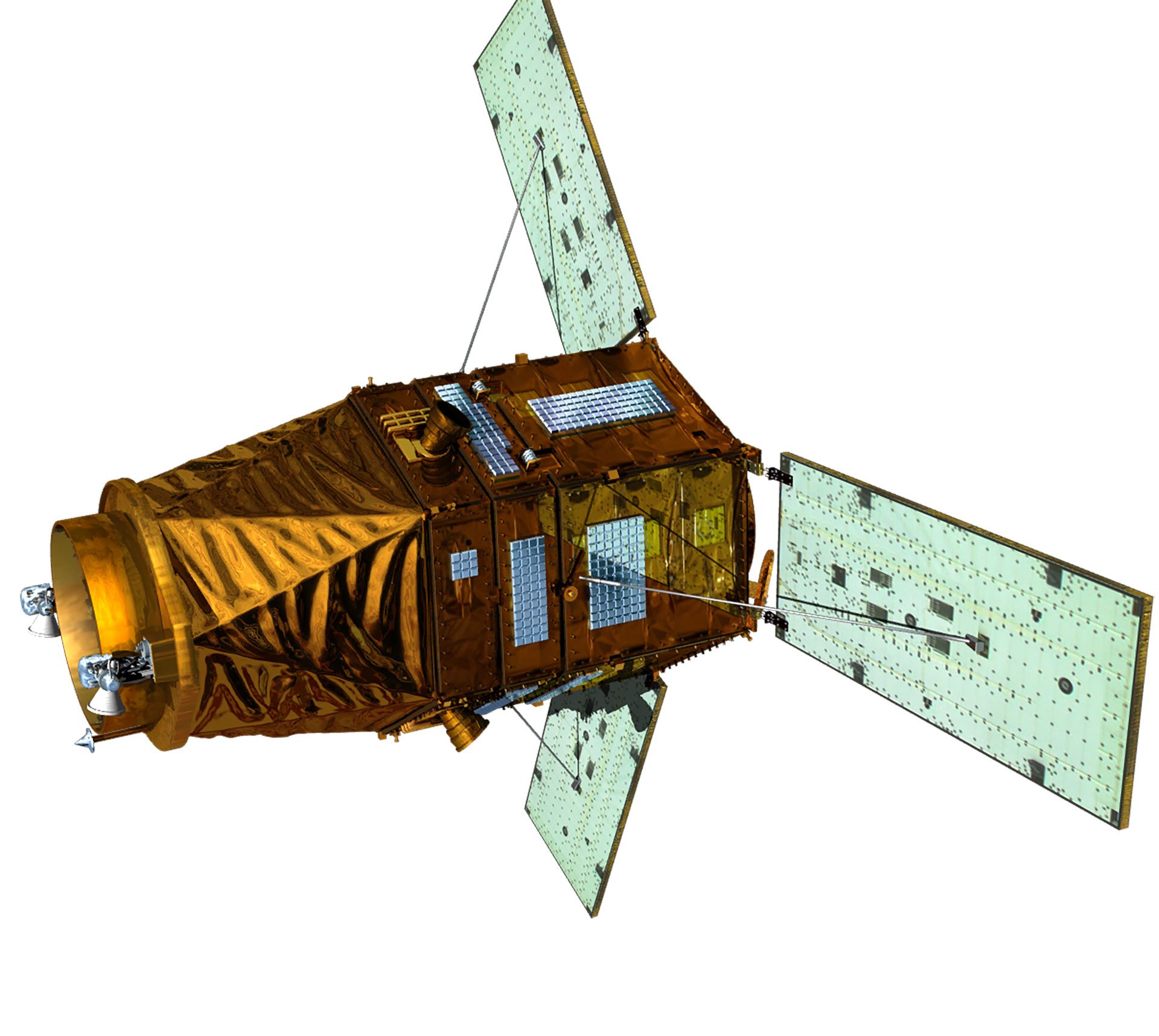
The development of Arirang 5 enabled securing not only existing optical images but also all-weather, day and night radar images as demanded in Korea. Arirang 5 is capable of all-weather observation and is used in national disasters and emergency management by complementing the optical and IR images of Arirang 2, Arirang 3, and Arirang 3A. The images of Arirang 5 can be used for geographic information systems (GIS), ocean observation, ground observation, disaster monitoring, and environmental monitoring. They are currently used for land and urban planning, water resources, agriculture, ocean, forestry, environment, map production, and geological resource utilization. The development of Arirang 5 opened an opportunity to secure the basis for the development of the Arirang 6 imaging radar with resolution of 50 cm with Korean technologies and imaging radar correction and processing technologies. Arirang 5 has successfully completed its mission for five years, operating for an extended period of 2 years as of 2019.- SpecificationDiameter 2.6 m, height 3.9 m, and weight 1,315 kg
- Operating orbitLow orbit
- MissionAll-weather earth observation
- PayloadAll-weather imaging radar (SAR, resolution 1m)
- Launch dateAugust 22, 2013
Korea’s first satellite to load IR sensors
As Korea's first satellite with high-performance optical payload and IR sensors, Arirang 3A is equipped with AEISS-A (Advanced Earth Imaging Sensor System-A), a high-resolution electro-optical camera with 55cm resolution, and IR sensors; thus enabling high-resolution optical and IR observations. Arirang 3A operates in the solar synchronous orbit, and it is used to secure public safety as well as for disaster and environmental monitoring and resource management through high-resolution precision optical observation with resolution of 55 cm and IR observation regardless of weather conditions, be it day or night.Submeter-Class Earth Observation Satellites
| Satellite Body | Manufacturing Country | Electro-optical Camera Performance | Year Launched |
|---|---|---|---|
| EROS-B | IAI (Israel) | (B&W)0.87 m, (Color)3.5 m | 2003 |
| GeoEye I | Orbital (USA) | (B&W)0.41 m, (Color)1.65 m | 2008 |
| World ViewII | Ball Aerospace (USA) | (B&W)0.46 m, (Color)1.84 m | 2009 |
| Pleiades | EADS Astrium (Europe) | (B&W)0.5 m, (Color)2.0 m | 2011 |
| IGS 8A, 8B | JAXA (Japan) | (B&W)0.4 m, (Radar)1 m | 2013 |
Securing independent, high-performance optical/IR imaging satellite technology
Arirang 3A was developed domestically to develop high-performance optical and IR imaging satellites independently and secure the base technology for entering the global satellite market afterward. KARI transferred its know-how related to developing the Arirang 3A satellite body to a private enterprise, and the R&D project was selected as one of the top 100 excellent national R&D achievements in 2015. Arirang 3A is currently operating normally through a four-year mission period and a two-year life extension.- Specification Diameter 2.0 m, height 3.8 m, and weight 1,100 kg
- Operating orbitLow orbit
- MissionPrecise earth observation
- PayloadHigh-resolution electro-optical camera (resolution 55 cm) and IR camera
- Launch dateMarch 26, 2015